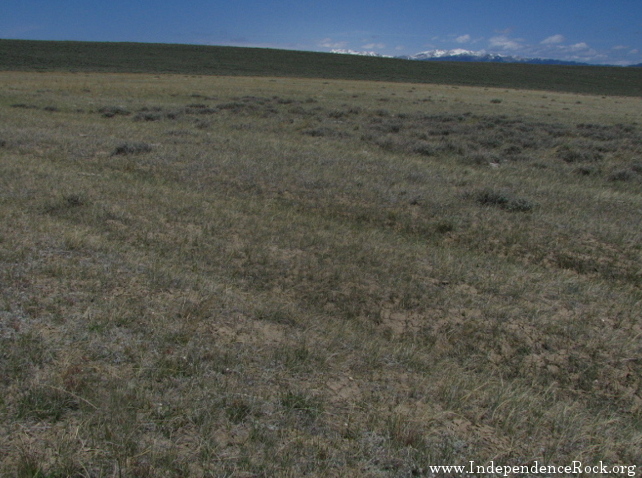
In his Emigrants' Guide (see map location 8 on this site), William Clayton wrote that "...passing between the Twin mounds, you will find a good camping place a quarter of a mile north of the road."
He was describing this spot, where two mounds of desert earth stand on either side of the trail, forming a gateway. The two mounds are not high at all, but in the gently rolling terrain here near South Pass, they do stand out. Just through this gate, within sight of (and essentially the same
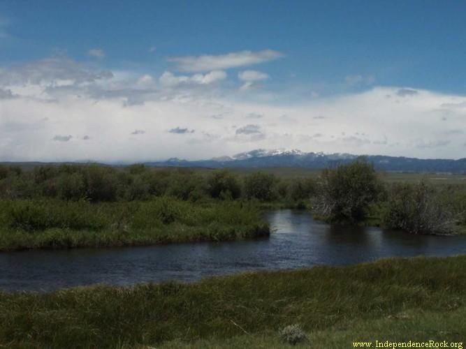
elevation as) South Pass, the trail nears the Sweetwater River one last time - the campsite recommended by Clayton.
The Sweetwater has its headwaters in the southern end of the
Wind River Mountains, a score of miles to the north. It flows southeast
from there, just barely on the Atlantic side of the continental divide (coming
within a mile of the divide itself at South Pass). Then, at this spot, the
Sweetwater makes its decisive turn to the east.