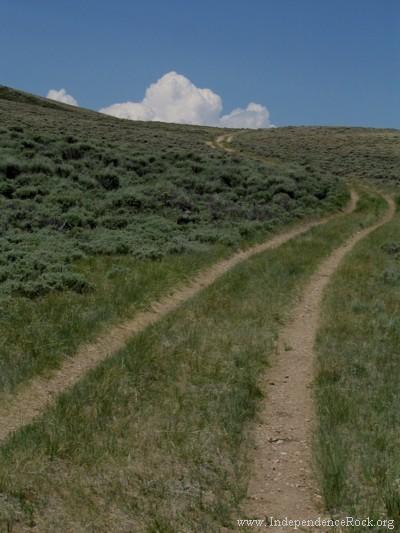
The climb up Rocky Ridge was one of the most difficult stretches of the entire Oregon
Trail. Though the total climb was only about 400 feet of elevation gain, the exposed
rock in the roadway broke or damaged many wagons.
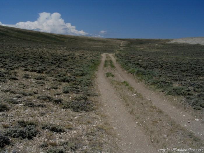
The climb up Rocky Ridge is really the climb to South Pass, for after reaching Lewiston
Lakes at the top of the climb, the trail is within 100 feet of the South Pass elevation,
and remains more or less level all the way to the pass.
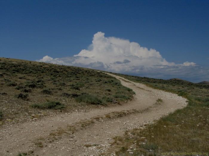
The main part of the Rocky Ridge route has been (wisely!) closed to vehicle travel by the
BLM, but there are reasonable access roads (high clearance advised) to both the Willie
handcart company rescue monument and the Lewiston Lakes --
see the notes on driving the trail route.
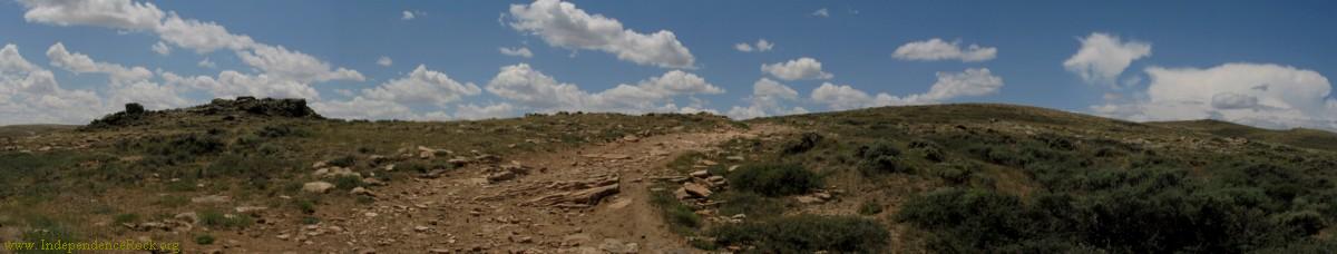
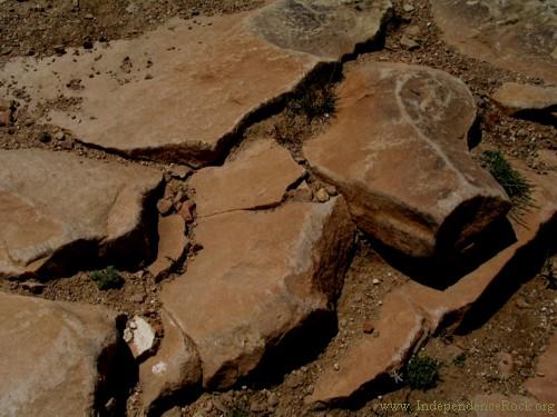 Rocks scraped by wagon travel |
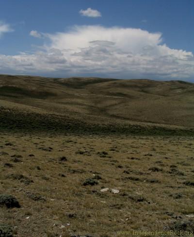 View from the climb up Rocky Ridge |